Introduction to ArcGIS Online
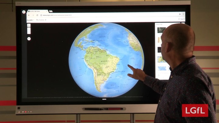
ArcGIS is a visualiser for the World that is for free all schools. ArcGIS can help teach complex subjects like climate change and involve students in real data collection, analysis and visualisation to help ask and answer their own questions.
It’s easy to get started and requires no install. If you have a projector and a computer in your classroom you are ready to go.
ArcGIS is developed by Esri and used by governments, businesses and NGO’s around the world everyday. With organisations as diverse as NASA and the National Trust creating and sharing data in ArcGIS, schools can now benefit from accessing the widest range of maps, apps and data for use in the classroom and beyond.