ArcGIS Online in Primary schools
ArcGIS Online a great tool for helping primary school students connect with the world around them. With great local and global maps and data students can develop their spatial awareness to connect themselves to things they are learning about. It also a great tool for teaching about complex subjects such as climate change and how our local choices can have global impacts.
For example, it’s easy to collect, map and share data on how green your schools is my mapping routes to school, looking at food miles etc to help start the conversation on environmental issues.
Take a look at the learning resources below to get you and your students started.

Supporting Content
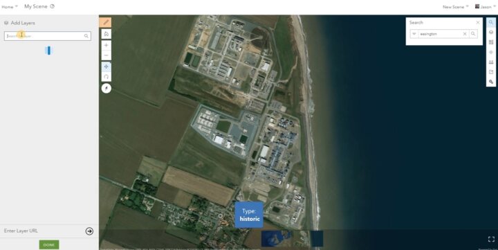
Getting started with ArcGIS Online
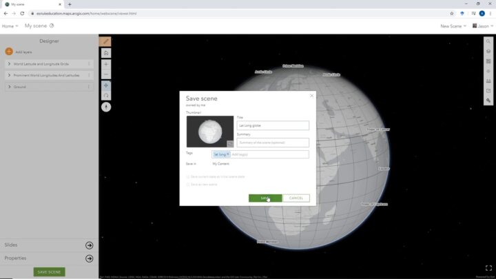
Getting started with 3D in ArcGIS Online